
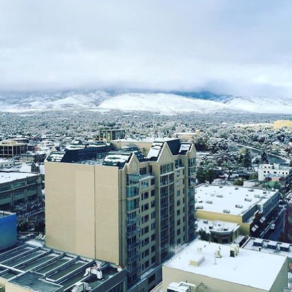
We’re excited for the latest storms bringing much-needed precipitation to our area. We also are taking every precaution to minimize hazardous travel and safety impacts for Reno residents. Below are steps we’re taking to prepare.
Today we should see high winds and heavy rains, up to 1 inch in the form of liquid precipitation. Snow levels are predicted to stay above 5,000 feet. A high-wind warning remains in effect until 4 p.m. this afternoon. We have staff on standby throughout the night for downed tree or traffic hazards. Additionally, staff will be working a day and night shift Thursday and Friday. Staff will be on standby throughout the weekend should any safety issues need to be addressed.
Sandbags are available on request at the Public Works Corporation Yard at 1640 E. Commercial Row in Reno from 8 a.m. to 5 p.m. Please contact Reno Direct for more information at 775-334-4636 or renodirect@reno.gov.
Late Sunday/early Monday, the next winter event will move in to the Truckee Meadows. Snow levels are predicted to be down to the valley floor. 1 to 3 inches of snow fall is expected. Public Works staff will start applying brine early Sunday to the roadway surface. A crew will be in operation for sanding or snow removal throughout the night to insure little or no impact for the early Monday morning commute.
Visit Reno.Gov/Snow for more information about winter road safety and snow plow routes.